
عام
NASA’s CASALS Instrument Bridges Gaps in 3D Maps of Earth’s Surface
تاريخ المصدر:
المصدر الأصلي: ناسا
المسؤولية التحريرية: إدارة تحرير الفضاء اليوم
خبر من المصدر باللغة الإنجليزية — الترجمة العربية غير متاحة لهذا الخبر بعد.
يُعرض عنوان هذا الخبر بلغته الأصلية. لقراءة التفاصيل، افتح رابط المصدر أدناه.
Original English headline and source excerpt
NASA’s CASALS Instrument Bridges Gaps in 3D Maps of Earth’s Surface
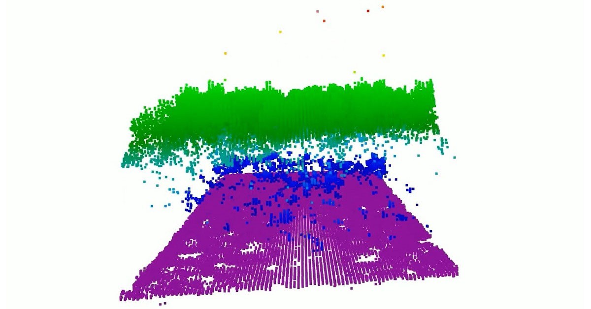
From orbit, today’s space-based laser instruments measure Earth’s forests and terrain one narrow line at a time. Between those lines are enormous gaps that include millions of acres of land scientists never directly measure. NASA’s CASALS instrument will blend machine learning with an ultra-compact lidar instrument to adaptively ‘sweep’ large swaths of Earth’s surface. This […]
Read the original source